Kresy in Polish Memory. Between Lost Arcadia and the Bloodlands of East-Central Europe
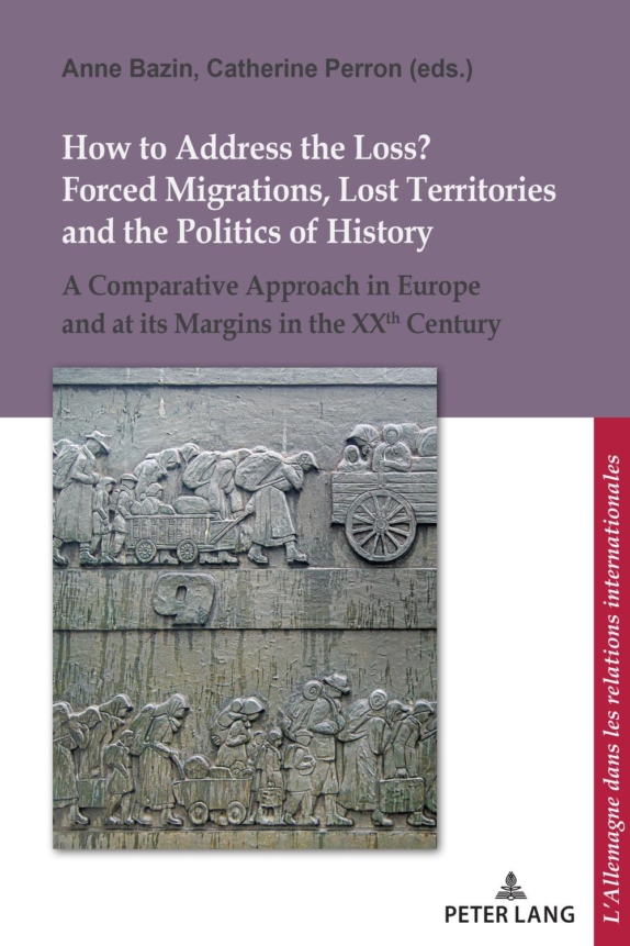
Halicka, Beata (2018). Kresy in Polish Memory. Between Lost Arcadia and the Bloodlands of East-Central Europe, in Anne Bazin and Catherine Perron (eds.), How to Address the Loss? Forced Migrations, Lost Territories and Related Politics of History. (Peter Lang, Brussels), 109 – 134.
In the history of Poland, which is more than one thousand years old, the borders have been changed many times. Poland’s territory grew regularly until it reached its peak of over one million square kilometres at the beginning of the seventeenth century. After the third partition of the state in 1795, Poland disappeared from the map of Europe until it regained independence in 1918. At the end of World War II, Poland was fighting on the side of the winners, but it nevertheless lost around 20% of its land as a consequence of the country shifting Westwards in 1945. Around 1.5 million Poles then fled or were expelled from their homeland. Today, Poland’s territory covers 312,600 km² and most of the lands it lost were in the East.
